The Hike
OK, so I’m, back.
Had my first week of work this last week. I kinda liked it. I mean, it was a lot of work, but it was totally worth it, and I’m finally kinda learning my way around the place. That is until tomorrow morning when I show up and they assign me to a different division. Then I have to start at square one. LAME!!! Whatever. Soon I’ll know my way around that entire place, and then I’ll run the joint…
Ok, but seriously, my first weekend after a week of work was pretty good. I went to Sears in the morning and had my “exit interview” with my old manager. Handed in my swipe card and had my position officially terminated. HA! Suckers…
In the afternoon I went to AJ’s house and had a mini jam session. We wrote one song for our fictitious hxc band called ‘My Summer Project’. It was great, and the song is about as straight-forward cheesy hxc as you can imagine. Super. Then Jessica called from AB, and then in the evening we (AJ, Fourns, and I) watched ‘Finding Neverland’ while the dog upstairs barked straight for 3 hours. Amazing. I kept waiting for it to lose its voice, but it didn’t happen. Even right now while I type this, the dog still barks. Sick.
Ok, but the morning of the yester of days is what I really am here to type about. The Hike.
I think I mentioned already that Dan Bryce and I were hiking on Eagle Mountain when we came across a view of what I thought was Sumas Mountain, but was actually only McKee peak. It has an elevation of only 463 m, as opposed to Sumas Mt, which rises to 908 m. Anyways, our view showed a few grassy meadows about ¾ of the way up, and we decided to see if we could find them, so yesterday morning we set out to do so.
Step one was to once again go to Eagle Mountain and to plan our attack route; a new subdivision on the side of McKee peak that was still in the midst of construction.
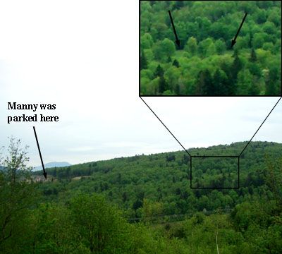
Our plan… get from here to there, the grassy meadow. But how? (Arrows point to the grassy meadow in the small window)
We parked Manny at the end of an unfinished street and hiked across a section of cleared lots to the treeline.
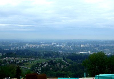
A view of Abbotsford from the empty lots on McKee hill.
Finding the trees outside the bounds of the cleared area, and blocked by one of those orange plastic fences, we found and walked over a fallen part and carried on our way into the trees. Not more than 20 m through the underbrush we came upon a pathway that paralleled a steep ravine. Beautiful. I wish we would have taken a picture of that, and I would have except my camera was at home, so Dan controlled the photography. We climbed down into it to cross the creek, since the path headed up to the east, and down to the west, and we wanted to stay at roughly the same elevation and head south. The creek seemed to be running over bedrock, and after nearly falling two or three times on the slippery surface we climbed back up the other side and found a second pathway on the other side. Once again, we decided that this path probably wouldn’t take us where we wanted, at least not directly, so we set off in to the uncharted bush. Fun times. Dickies kept my legs free of nettles, while a big stick kept Dan’s bare legs free of the same. Dan, wear pants man!!!
Not a minute in we came across a barb-wire fence. Oops? I guess we’ll just have to jump it to see what’s on the other side. So we did, and trod carefully, assuming that we were on private property. Later, however, we found that public paths crossed the property left and right, and there were gates through the fence, and even a step ladder/bridge over it, not even 100 m west of where we crossed. Whatever. It’s more of an adventure this way, right?
After a short while we came upon the grassy knoll. Now, sorry for not building this part up as a good story, but that’s kinda the way we came across it. We just got there. Like, way before we expected… it actually wasn’t very far at all.
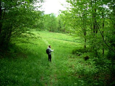
Welcome to the meadow.
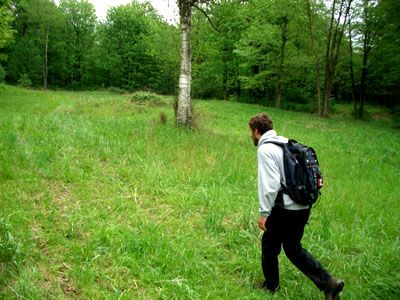
My best Sasquach impersonation.
So there we were… well, what next?
TO THE TOP!!!!!!!!!
So we set out to find the top of the mountain. Pretty easy if you just take the road. Nope, no road please, we have a hidden trails to find. And find we did! Well, like, I’m sure there’s probably a million people in the world that already know about these trails up on McKee peak, but whatever, we didn’t until we got there, and this is what we found.
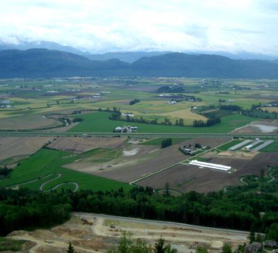
A view of the Sumas Flats and the Cascades across the way.
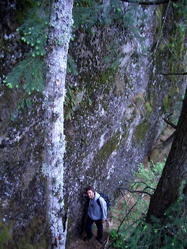
A big rock wall… but wait! That’s not rock! It’s compacted till from the Fraser Glaciation… whatever... it’s summer. I need not care about glaciation any longer.
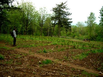
OK, some weird kinda grow-op… like a cedar grow-op. Who grows cedar half way up the mountain in a weird hidden field? These guys do.
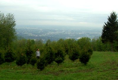
I’m practicing being a tree. A nice view of the city of Abbotsford behind me.
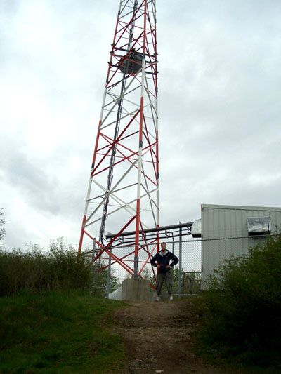
The peak. Yup, cell phones are taking over the world.
On the way down we decided to try to find a path to make our life easier. It kinda did… a bit. Until the end, and then it was hard, since we decided that the easiest way back to the lot where Manny was waiting was straight. Yup. Easy like quantum physics. No permanent injuries though, so all is well, and we found our way out nearly where we started from, and drove to Dan’s just in time to eat grilled cheese sandwiches and tomato soup. Great!!!
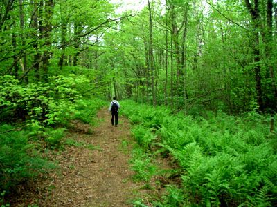
A nice path leads us through the first part of our return hike.
Next adventure: Sumas Mountain proper. That will be much later in summer though, since I need a break. I’m tired, and I gotta go to work tomorrow.
Peace.


0 Comments:
Post a Comment
<< Home